


8,5 km | 10,5 km-effort

Benutzer


Kostenlosegpshiking-Anwendung
 SityTrail
IGN / Geografische Institute
SityTrail World
Die Welt öffnet sich für Sie
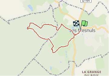
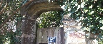
Tour Wandern von 7 km verfügbar auf Île-de-France, Yvelines, Les Mesnuls. Diese Tour wird von microb vorgeschlagen.
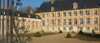
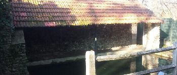
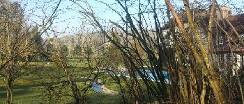
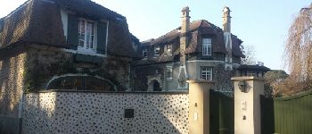
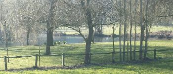
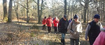
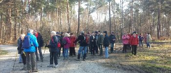
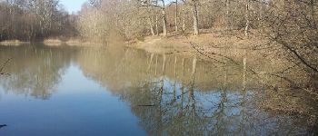
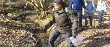
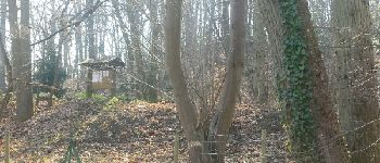
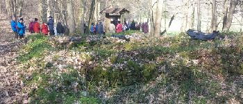
Les Mesnuls - Bois des Brûlins - Etang des Maurus - La Millière


Wandern

Wandern
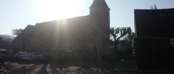
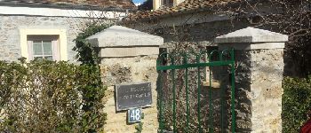
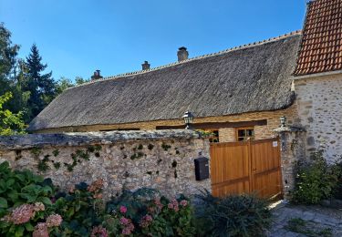
![Tour Wandern Montfort-l'Amaury - Yvelines_[Rando_Journée]_Montfort=>Les Mesnuls=>Autour_de_Montfort - Tronçon 1 - Photo](https://media.geolcdn.com/t/375/260/ext.jpg?maxdim=2&url=https%3A%2F%2Fmedia.geolcdn.com%2Ff%2F9a77b4d0-afa4-42cb-beea-4a17fa8cb8c3.jpg)
Wandern
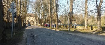
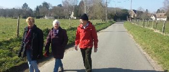
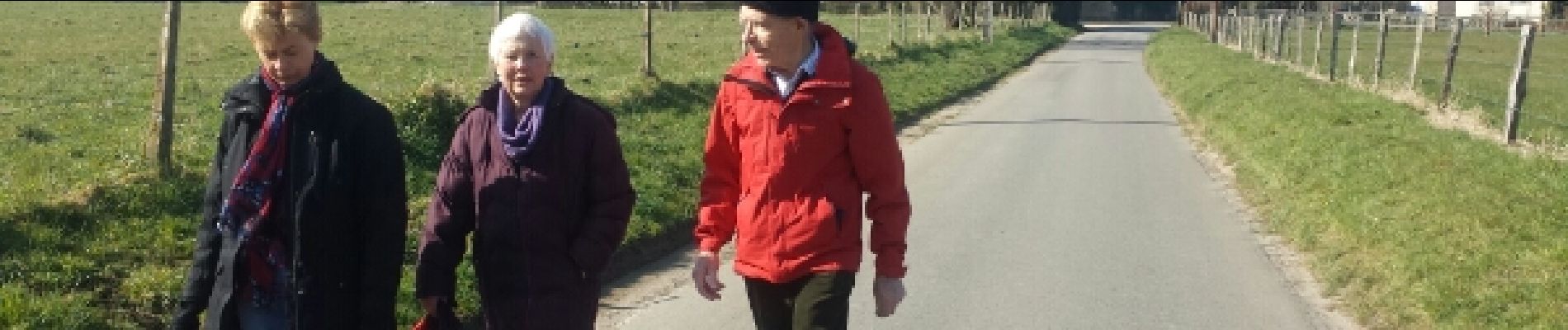
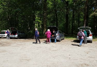
![Tour Wandern Montfort-l'Amaury - Yvelines_[Rando_Journée]_Montfort=>Les Mesnuls=>Autour_de_Montfort - Tronçon 2 - Photo](https://media.geolcdn.com/t/375/260/ext.jpg?maxdim=2&url=https%3A%2F%2Fmedia.geolcdn.com%2Ff%2F3a031c20-1fc4-4232-b97e-93470db48f02.jpg)
Wandern
Wandern
Wandern
Wandern
Andere Aktivitäten

Wandern